Dinetah Archaeology
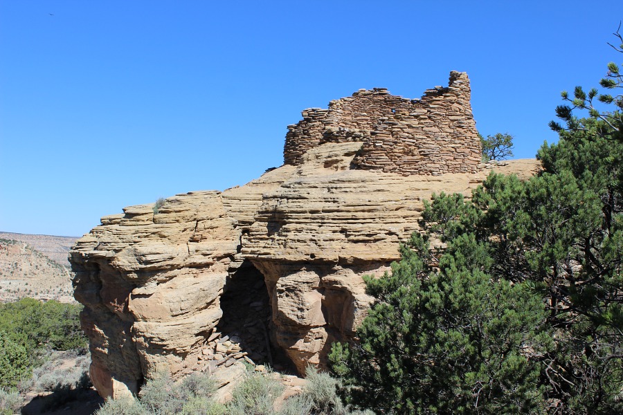
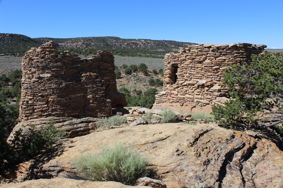
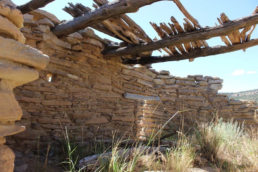
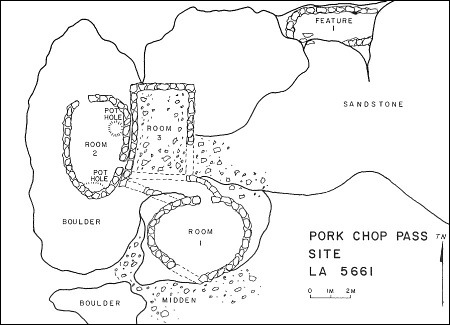
Pork Chop Pass Pueblito
Ceramic Assemblage: Ceramics identified included Dinetah Gray, Gobernador Polychrome, Acoma, Zia and Zuni wares (Towner 1997).
Tree-ring Analysis: Twenty-eight tree-ring samples have been collected from the pueblito from two separate investigations. All but one sample show evidence of metal ax use. Tree-ring dates obtained from the pueblito indicate construction episodes around the late 1730s (Rooms 1 and 2) and mid-1740s (Room 3) (Towner 1997).
| Land Owner: | State of New Mexico
➠ Create an Account for Recreational Access Form |
| Site Elevation: | 6666 ft / 2032 m |
| Hiking Difficulty: | Easy =
Someone in fair hiking condition; Distance less than 400 feet; Elevation gain less than 50 feet. |
| References: | |
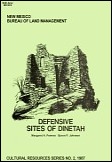 |
Powers, Margaret A. and Byron P. Johnson 1987
Defensive Sites of Dinetah. New Mexico Bureau of Land Management Cultural Resources Series No. 2, 1987. U.S. Dept of the Interior, Bureau of Land Management, Albuquerque District. |
 |
Towner, Ronald H. 1997
The Dendrochronology of the Navajo Pueblitos of Dinetah, PhD dissertation, University of Arizona. |
More Information
Other Pueblitos
| ➠ Return to Archaeology Page |
Report Vandalism
Report any vandalism to the State Land Office at (505) 326-5716.