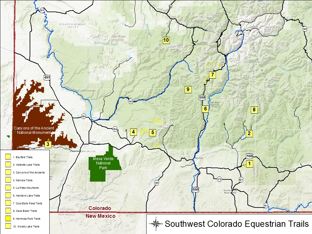
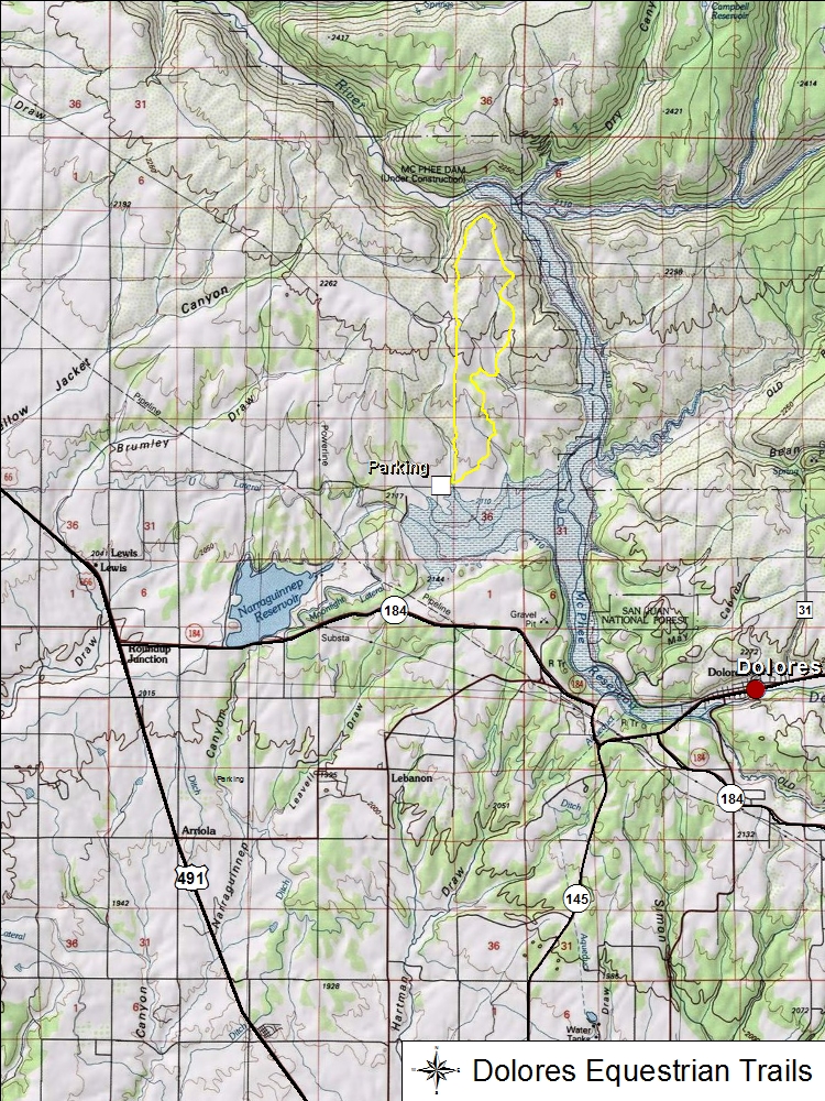
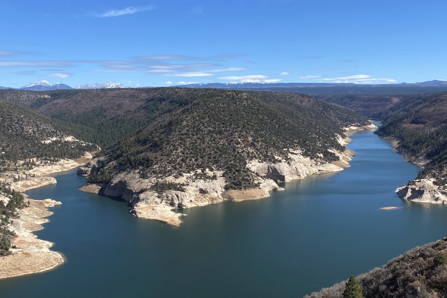
To date, there is one major trail recorded on the northwestern slopes of McPhee Reservoir near the town of Dolores.
Trail Name
Miles
Elevation
Sagehen (Lookout) Trail
939
7,000-7,270 ft
Sagehen Trail
Parking is located at a corral located off of County Rd X. There are two loops to Sagehen: The lower loop (Rim Trail) is shorter and borders along the McPhee Reservoir. The upper loop (Lookout Trail) is longer and follows one of McPhee Reservoir fingers.