Bayfield Trails System

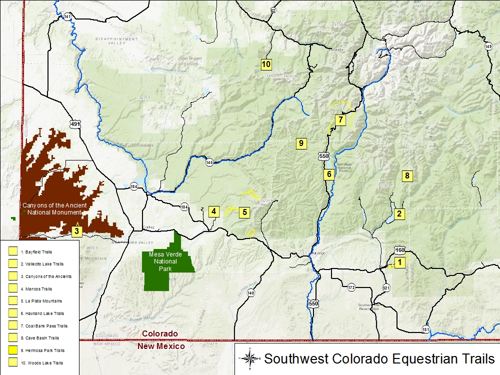
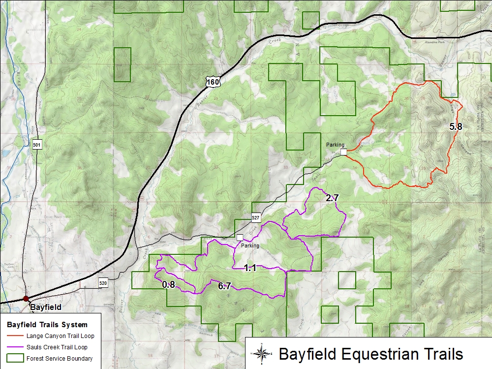
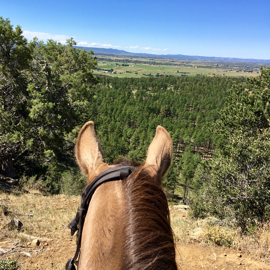
Located east of Bayfield off of CR 520 and CR 527 in the San Juan National Forest, are the Lange Canyon and Sauls Creek Trails. These trails consist predominately of single track and/or old jeep trails which takes one through pinon-juniper woodland and ponderosa pine forest.
Trail Name Miles Elevation
Lange Canyon 5.83 7,230-7,900 ft
Sauls Creek 6.73 (main loop)
2.72 (north extension)
0.84 (southern alternate)
1.10 (central alternate)
6950-7360 ft

Bayfield Map
  • Bayfield Trails (PDF 172 KB)
  • GPX File (ZIP 14 KB)
  • Sauls Creek
    Overlook from ridge to Sauls Creek.
    Photo by Cathy Cumberworth, Click Photo to Enlarge.