Angel Peak Scenic Area Trails

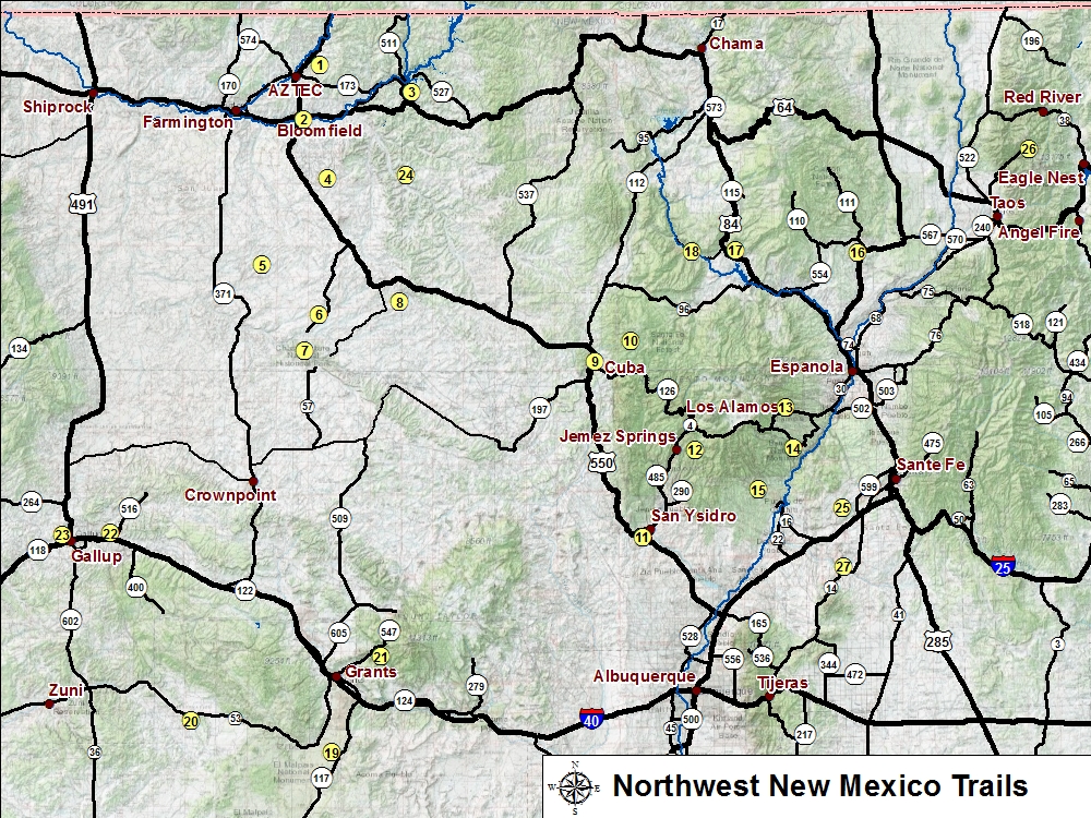
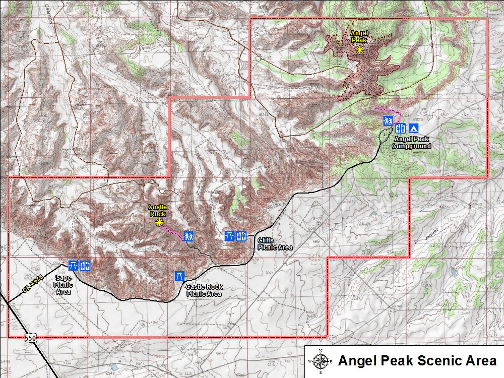
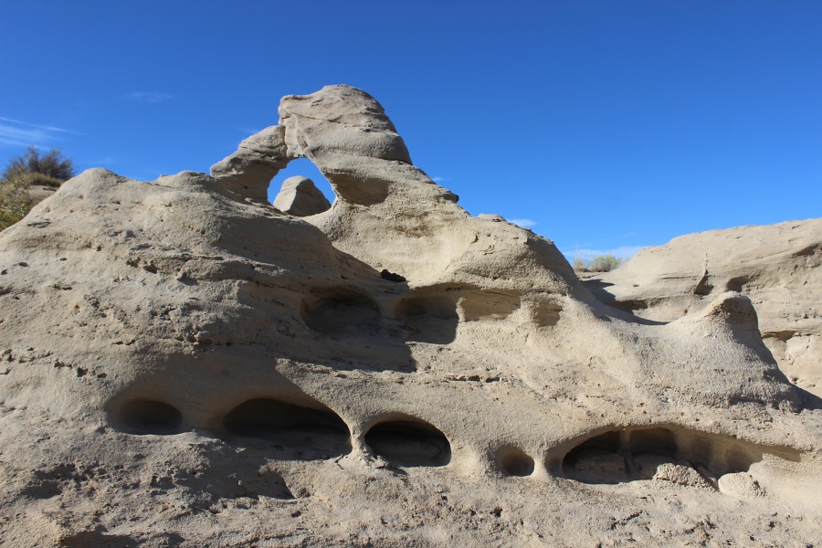
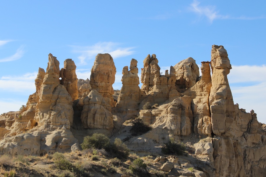
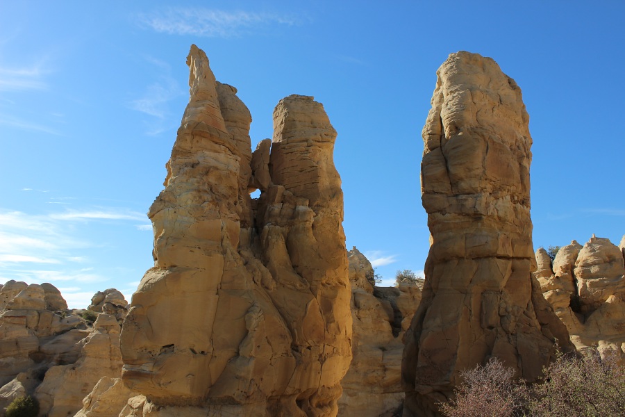
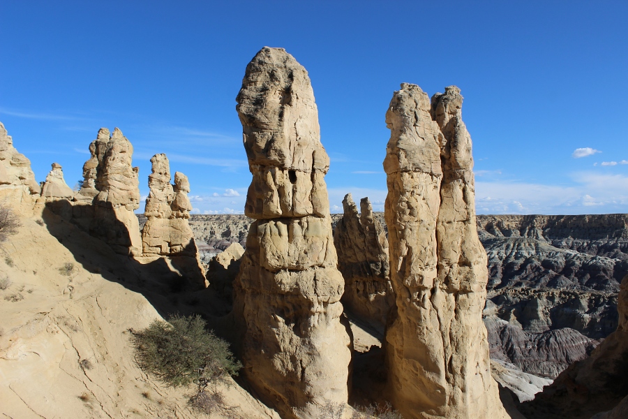
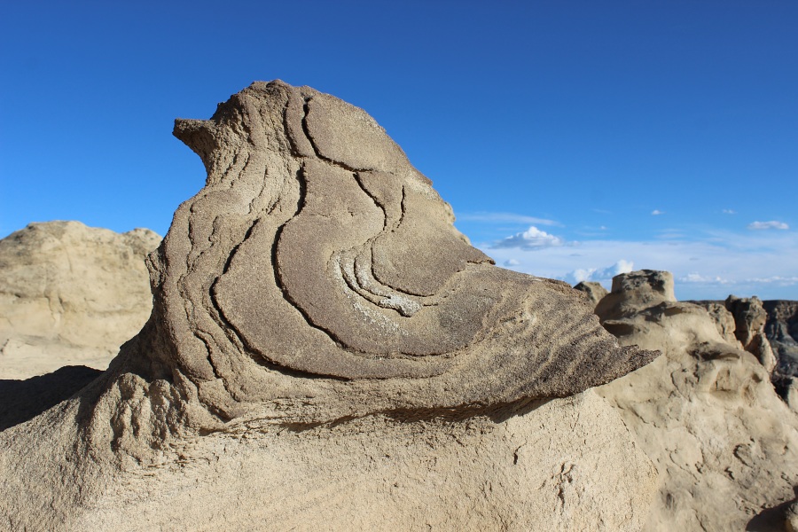
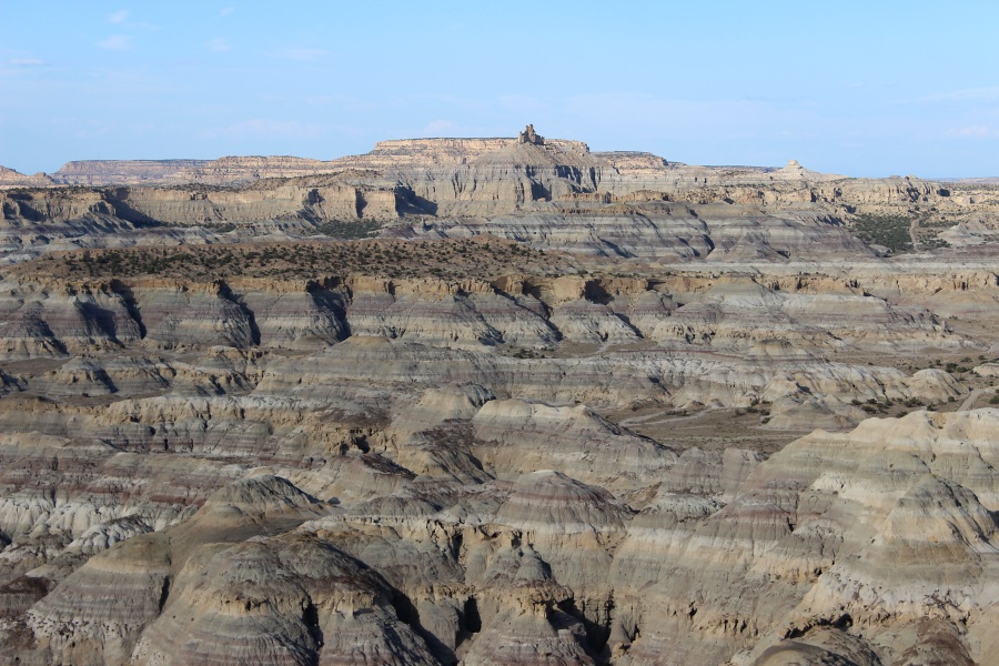
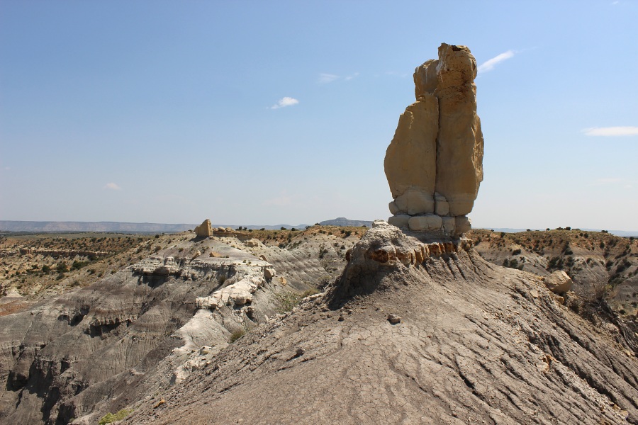
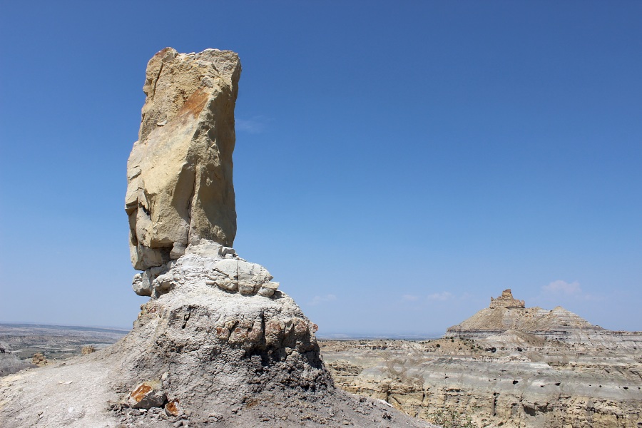
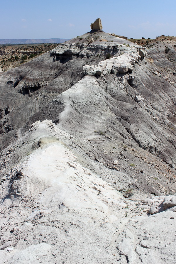
Angel Peak Scenic Area is located east of U.S. Hwy 550 about 15 miles south of Bloomfield, NM (entrance is signed at the highway). This area is managed by the BLM and offers overnight camping and picnic areas. There are two established trails in the area, although many people hike along the meas rim to view the lower badlands of Kutz Canyon.
Trail Name Difficulty Distance Elev. Gain
1. Castle Rock Easy 1.2 mi / 1.8 km 50 ft
2. Angel Peak Moderate 1.0 mi / 1.8 km 100 ft
  • ➠ More Information and Photos on Angel Peak Scenic Area

  • Angel Peak Trails Map
    Angel Peak Scenic Area Hiking Trails Map (PDF 221 KB)

    castle rock
    Small arch on Castle Rock Trail.
    castle rock
    Approaching Castle Rock.
    castle rock
    Castle Rock window.
    castle rock
    Castle Rock Towers.
    castle rock
    Tweeti Rock.
    castle rock
    Badlands to Angel Peak.
    angel peak
    Angel Peak Trail.
    angel peak
    Angel Peak Trail.
    angel peak
    Angel Peak Trail.
    Photos by EMKotyk