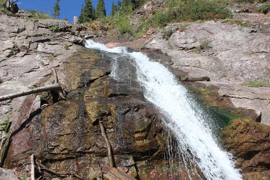
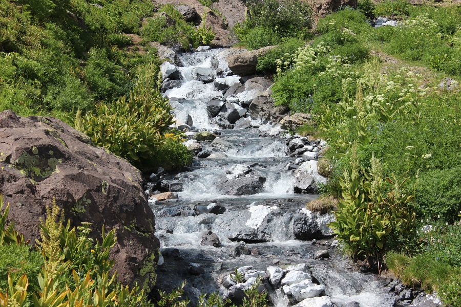
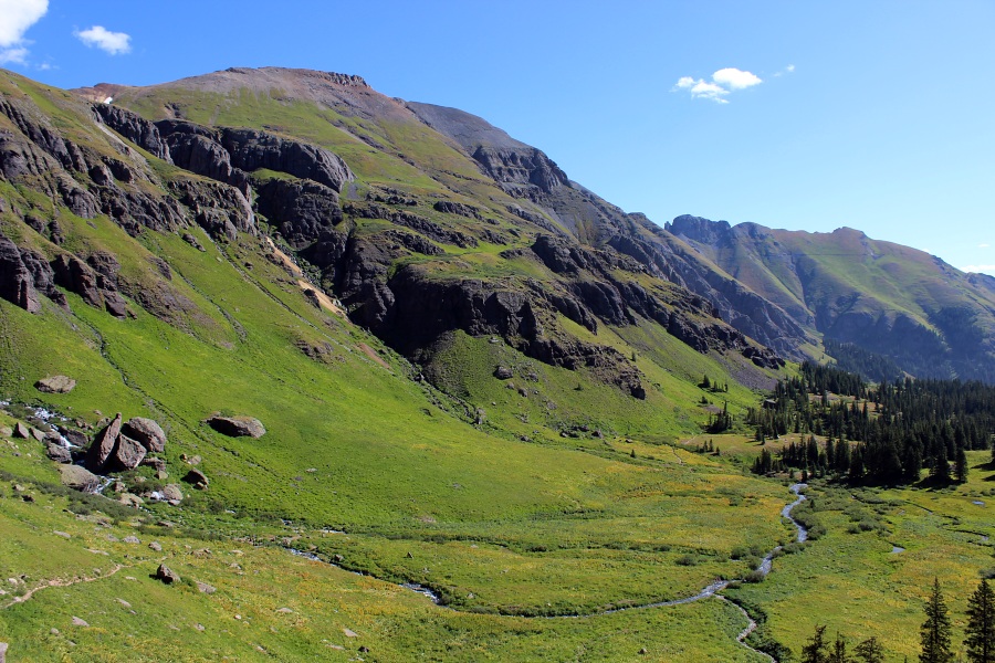
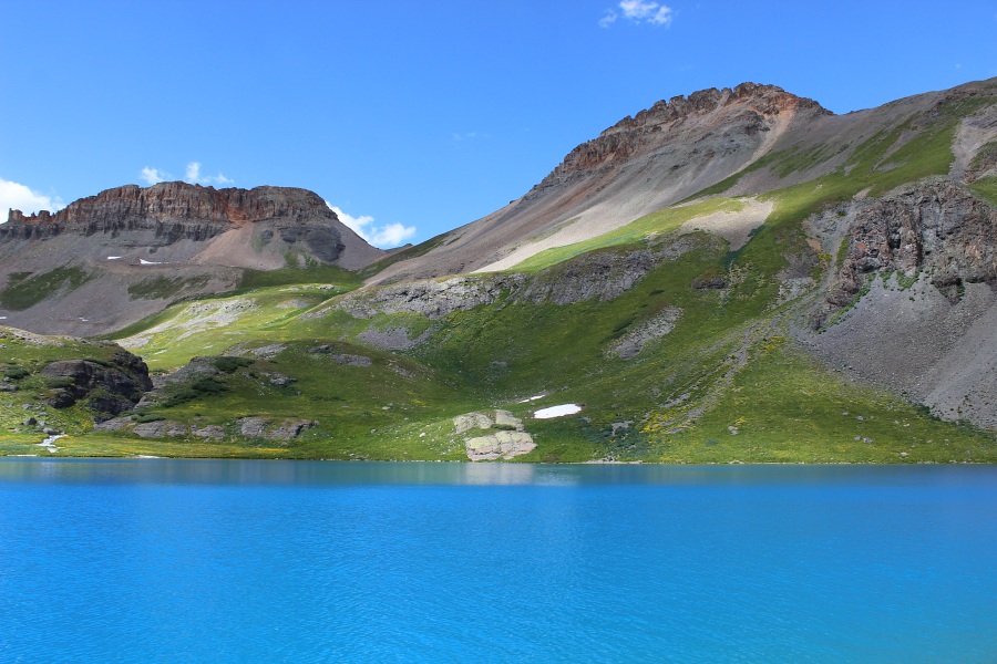
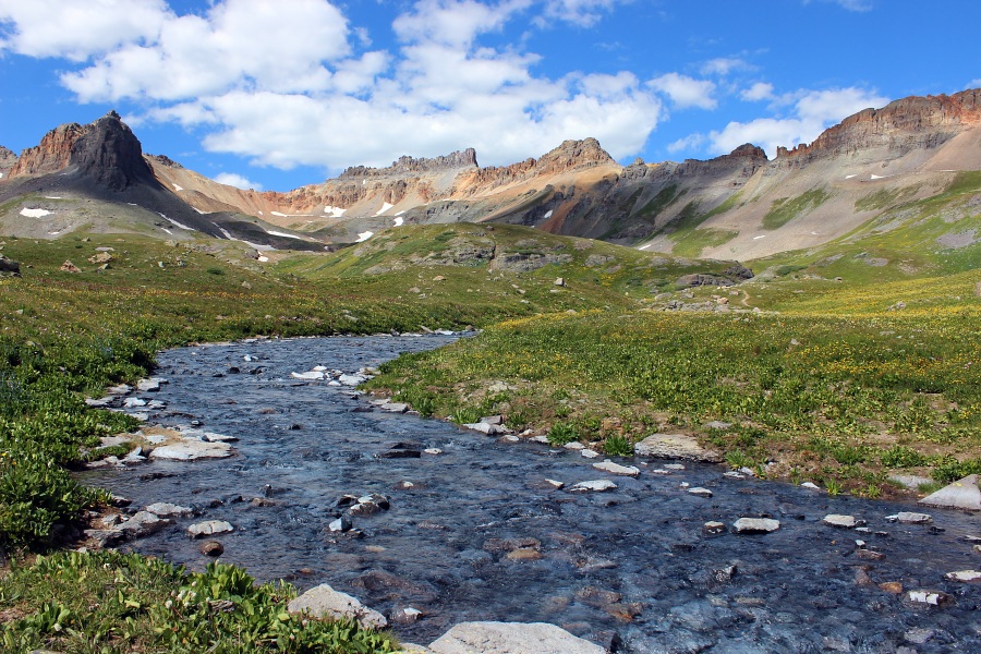
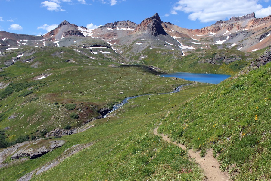
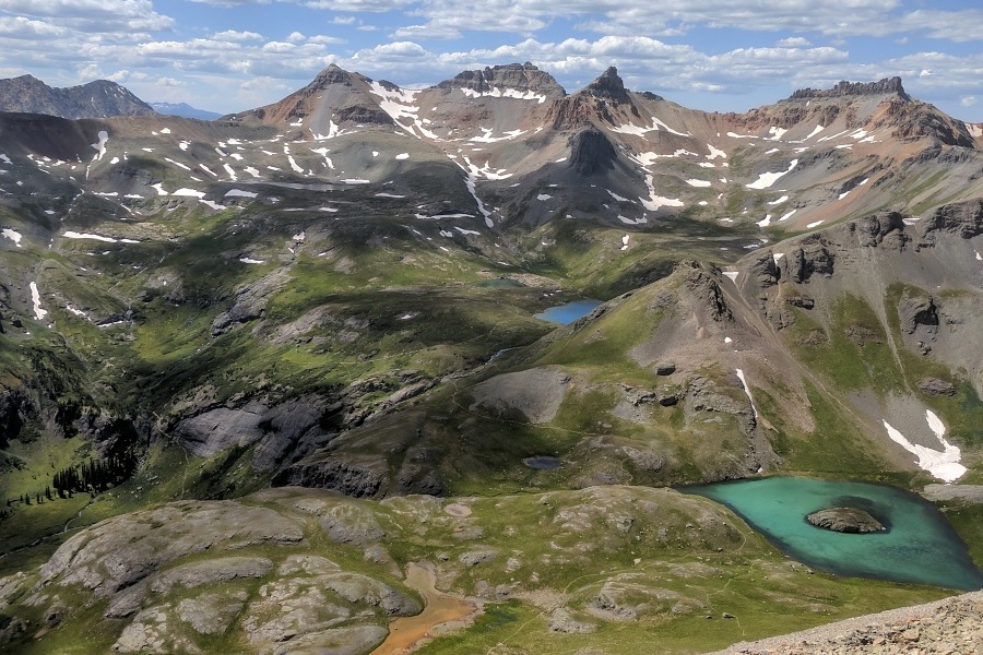
Ice Lake Trail.Clear Creek Falls.Ice Lake Creek.Lower Ice Basin.Ice Lake.Ice Lake Creek.
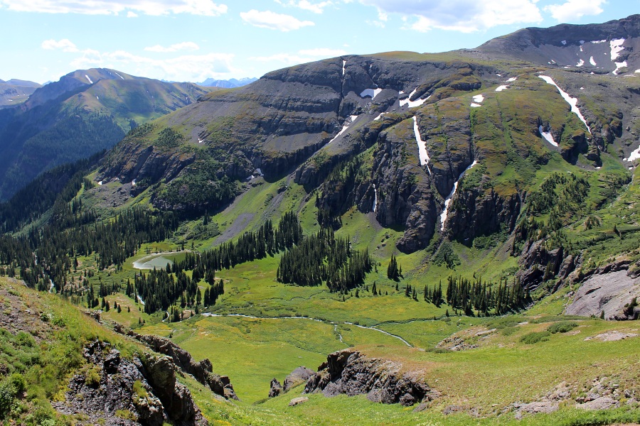
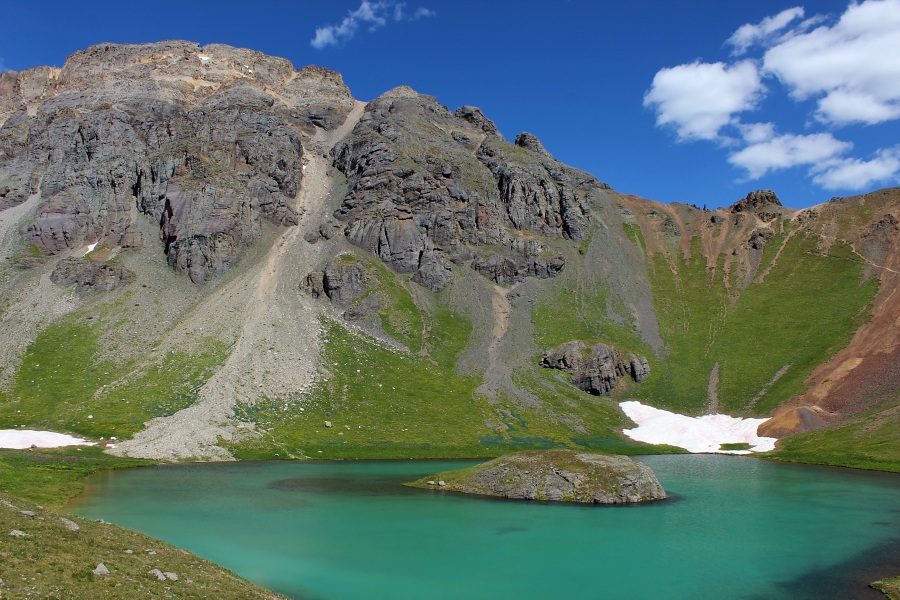
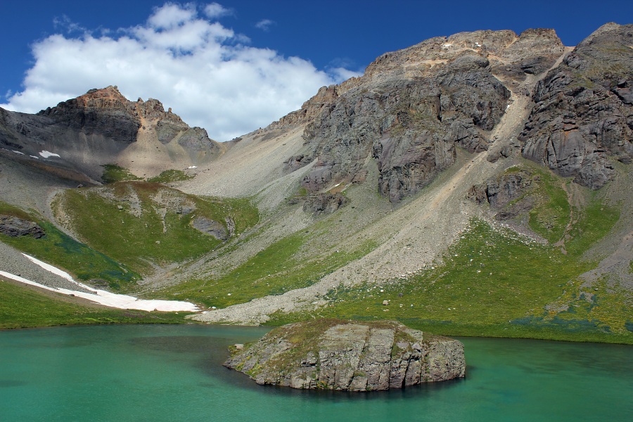
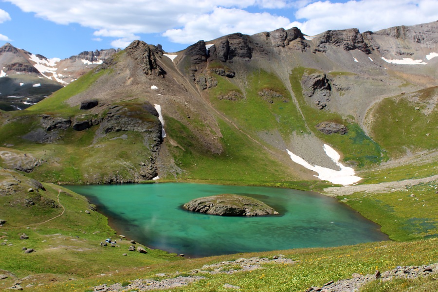
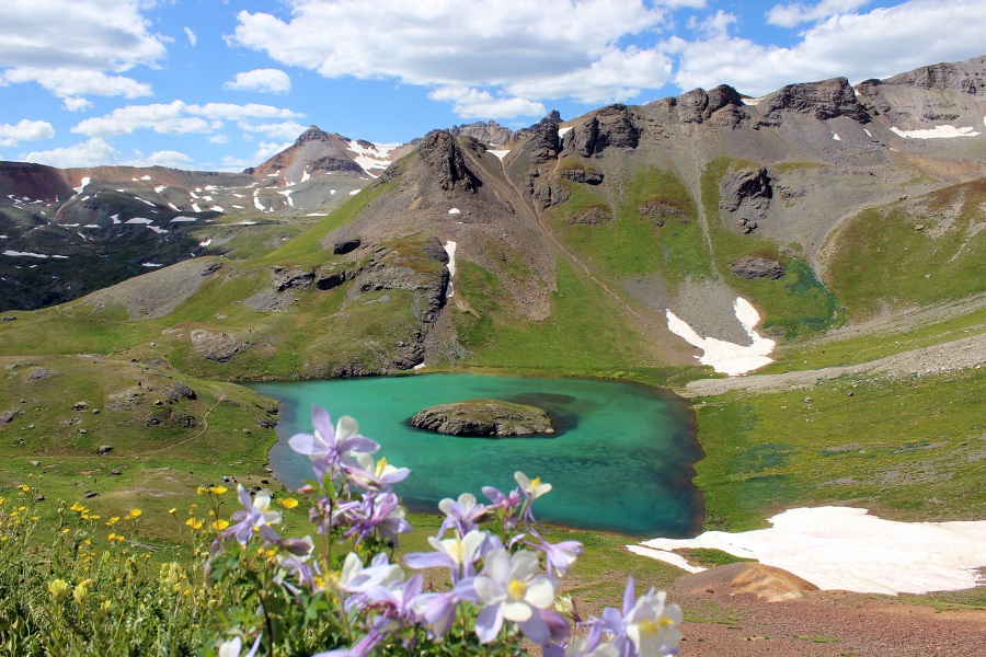
Island Lake Trail looking back to Ice Lake.Lower Ice Lake Basin.Approach to Island Lake.Island Lake.Island Lake.Island Lake.
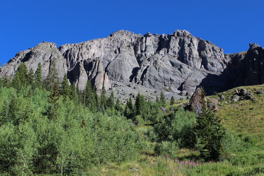
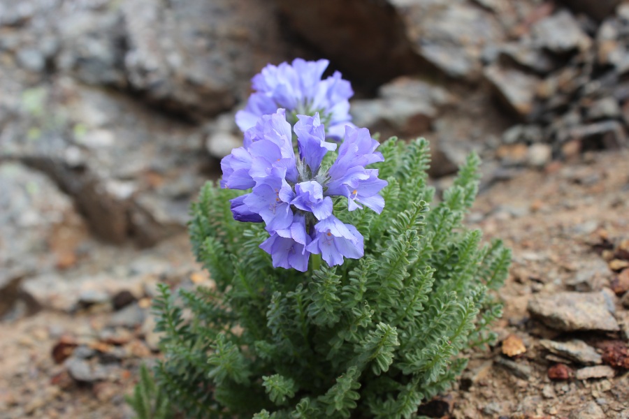
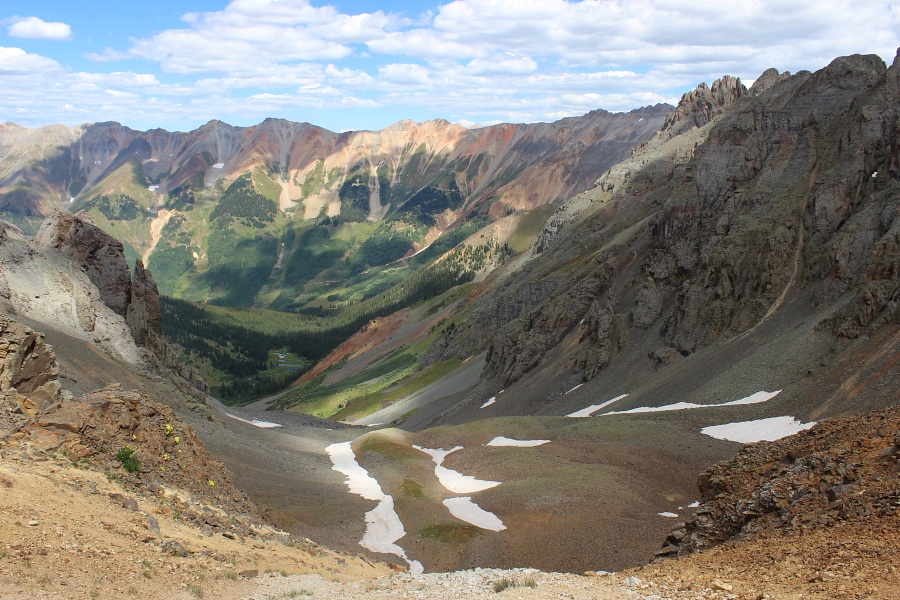
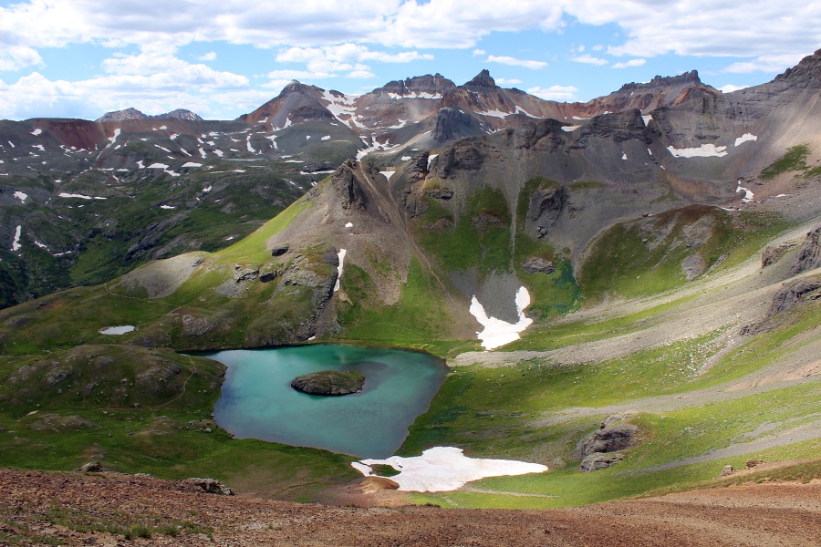
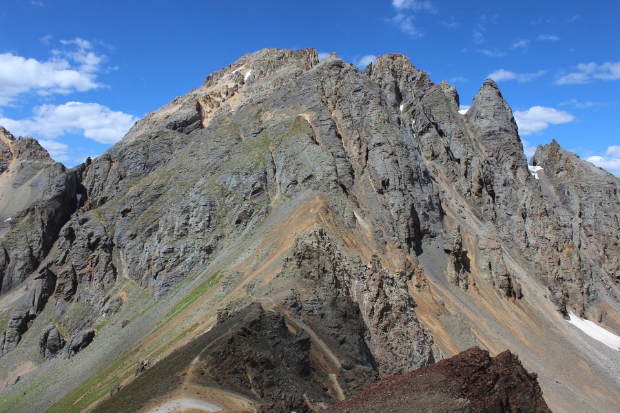
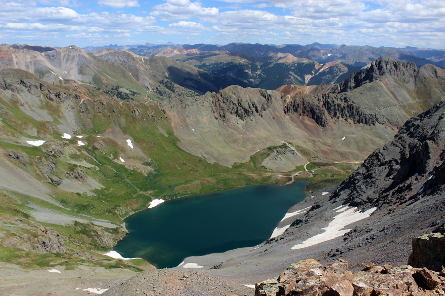
Flower on V2 Trail.Northeast view from V2 summit.Southwest view from V2 summit.U.S. Grant Peak to the west.View of Clear Lake from V2 summit.View of Island and Ice Lakes from V2 summit.