Mancos Trails

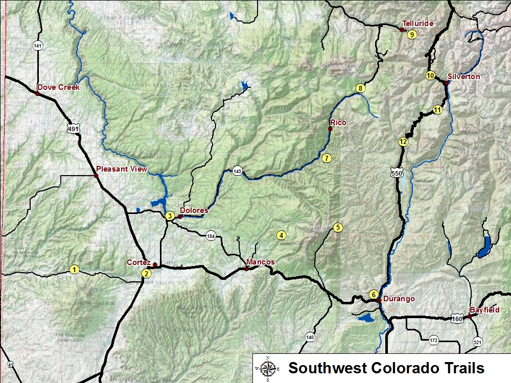
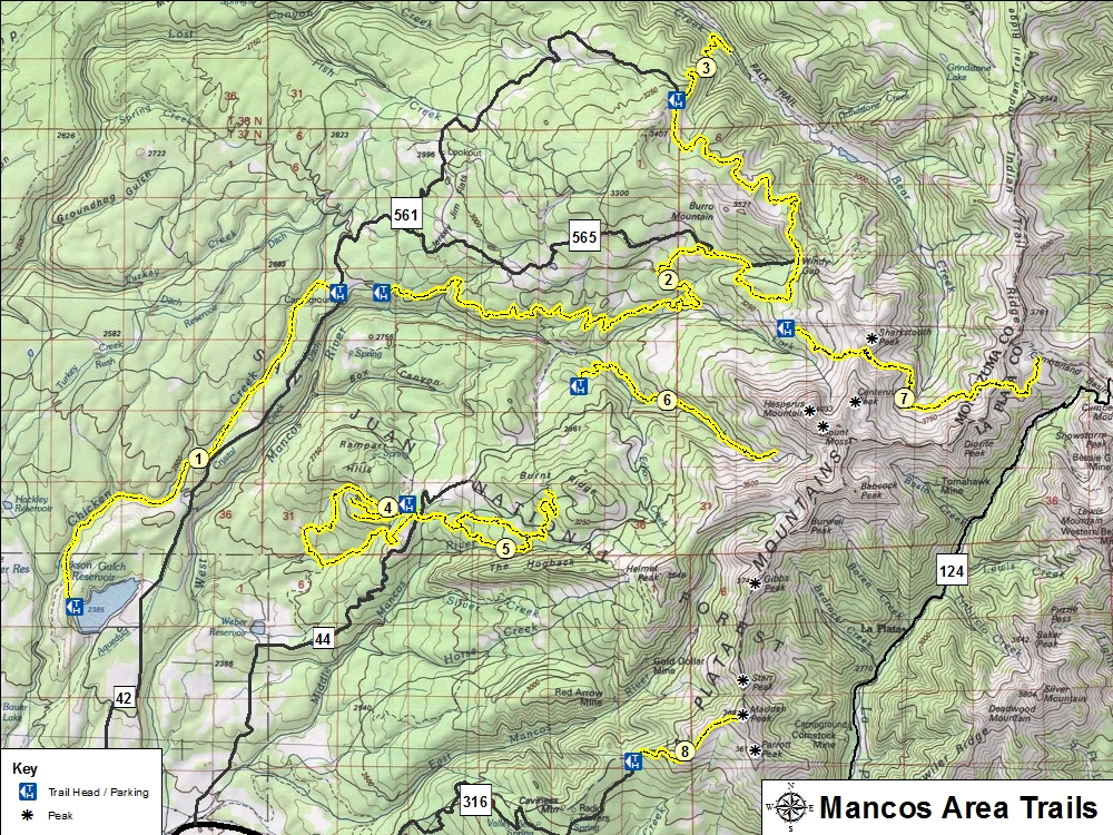
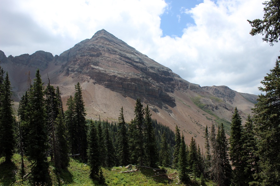
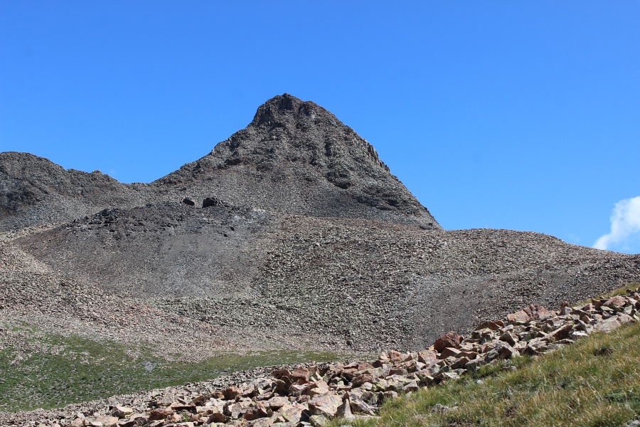
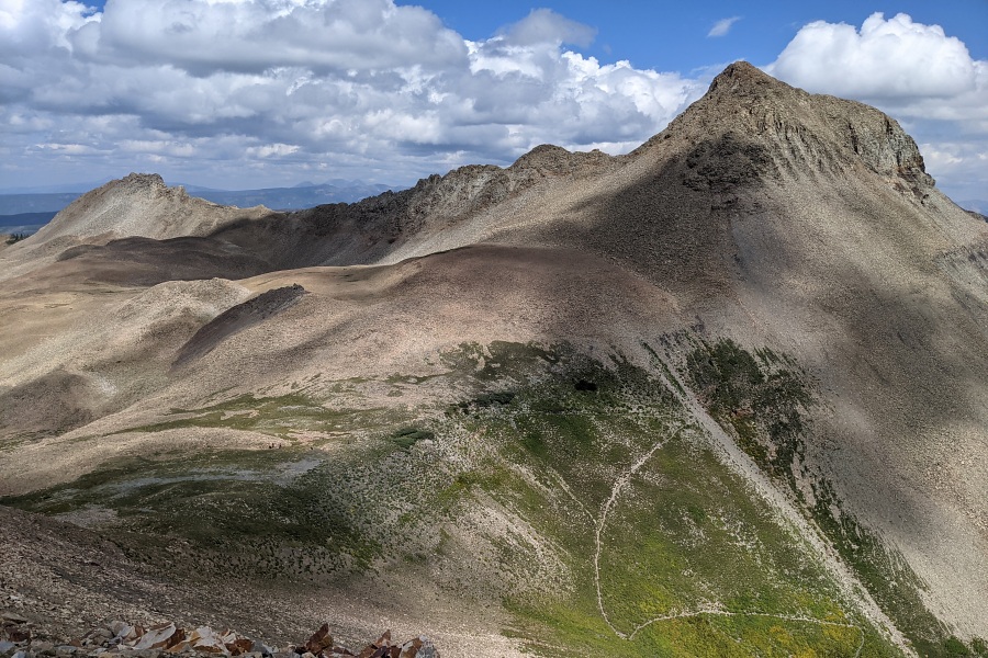
Located northwest of the town of Mancos on the western side of the La Plata Mountains is a series of trails. Some of the trails are multiuse and so its not uncommon to find OHV, mountain bikes, and horses on the trails. Each of the trails are accessible via Forerst Service roads. The lengths of some of the trails may require overnight stay if one is intending to hike the whole trail length.

Trail Name Difficulty Distance Elev. Gain
1. Chicken Creek Moderate 13.8 mi / 22.4 km 2,250 ft
2. Aspen OHV Difficult 32.0 mi / 51.6 km 1,690 ft
3. Gold Run Difficult 4.2 mi / 6.8 km 1,690 ft
4. Rampart Hills Loop Moderate 5.1 mi / 8.3 km 1,080 ft
5. T-Down Park Moderate 12.2 mi / 16.6 km 1,200 ft
6. South Fork West Mancos Moderate 8.0 mi / 12.8 km 2,010 ft
7. Sharkstooth Pass (West) Moderate 2.1 mi / 3.4 km 1,050 ft
8. Madden Peak Difficult 4.2 mi / 6.8 km 2,350 ft


Mancos Trails
Mancos Trails Map and Info (PDF 963 KB)
Mushrooms
Sharkstooth Trail: Mushrooms.
Mushrooms
Sharkstooth Trail: Mushrooms.
Waterfall
Sharkstooth Trail: Waterfall.
Hollowed Tree
Sharkstooth Trail: Hollowed Tree.
Hesperus Mountain
Sharkstooth Trail: Hesperus Mountain.
Pika
Sharkstooth Trail: Pika.
Hesperus Mountain
Sharkstooth Trail: Hesperus Mountain.
Sharkstooth Peak
Sharkstooth Trail: Sharkstooth Peak.
Sharkstooth Peak
Sharkstooth Trail: Sharkstooth Peak.

Photos by EMKotyk