
Bandelier National Monument, NM
Tsankawi Ruins
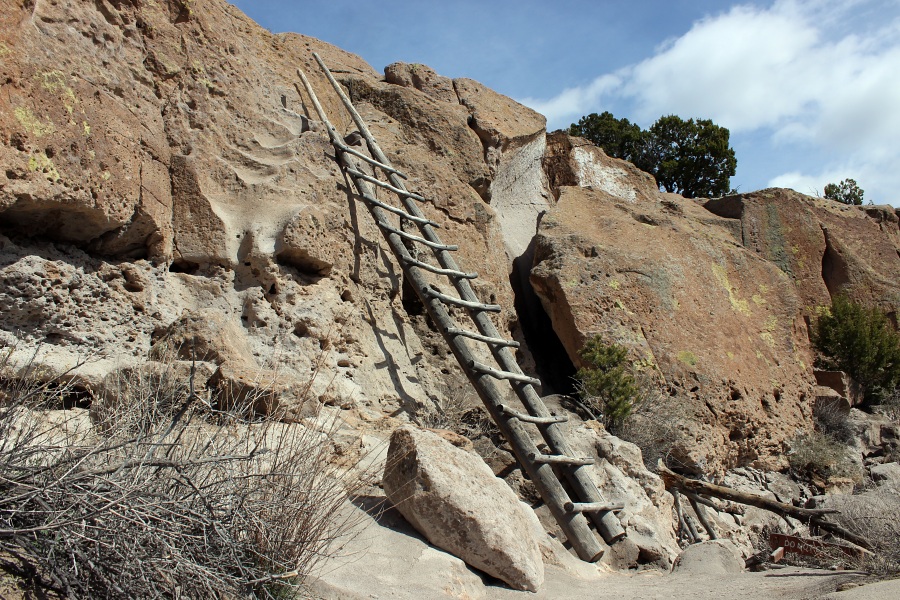
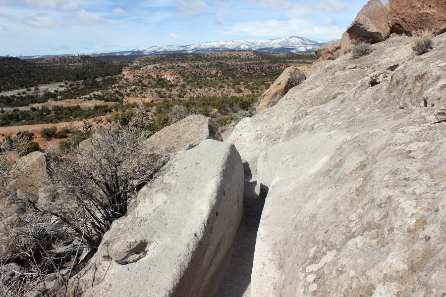
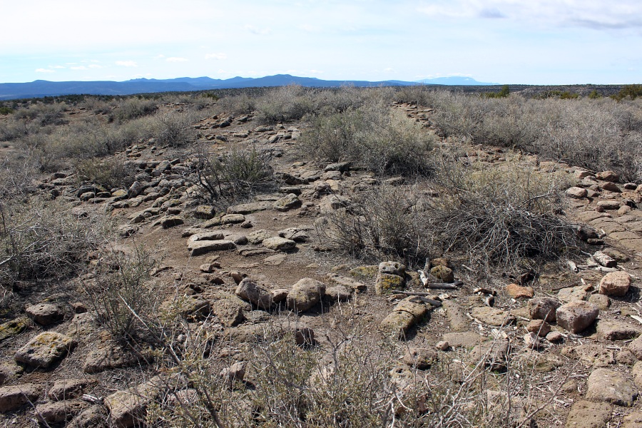
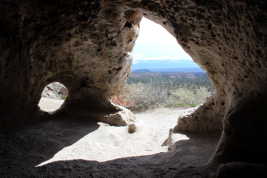
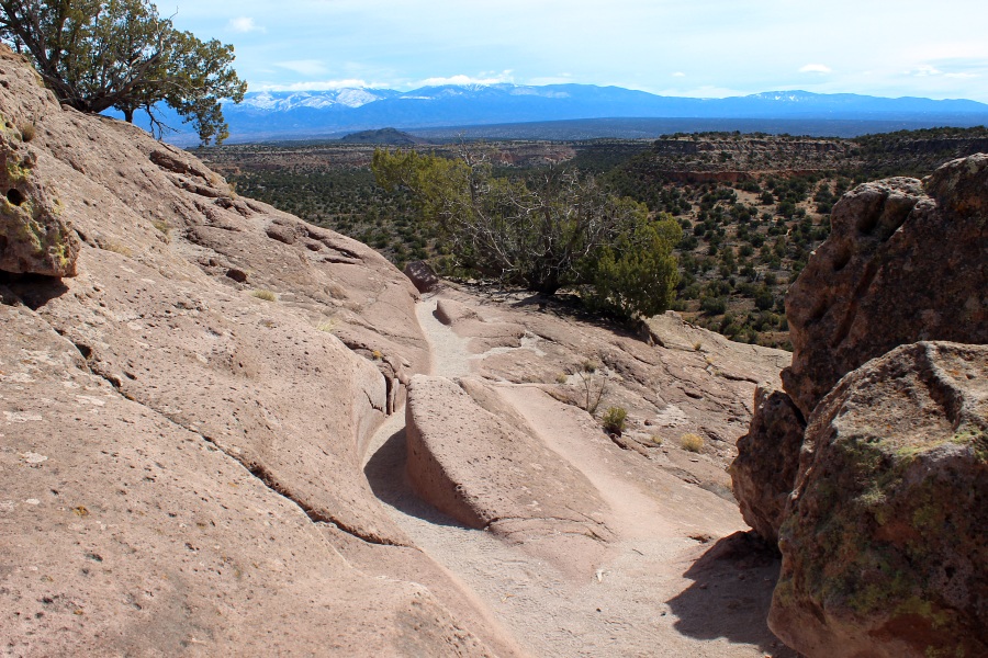
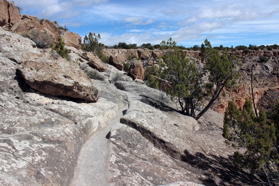
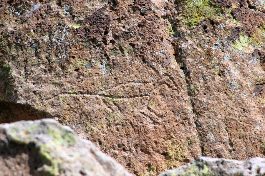
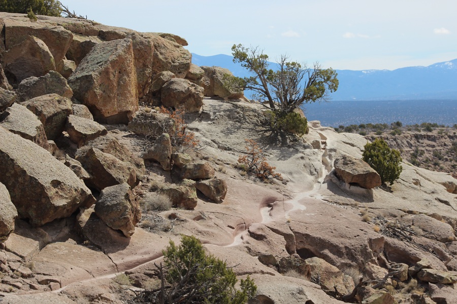
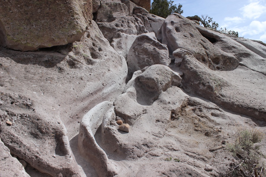
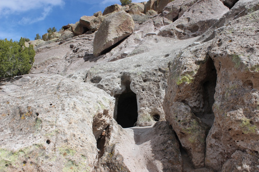
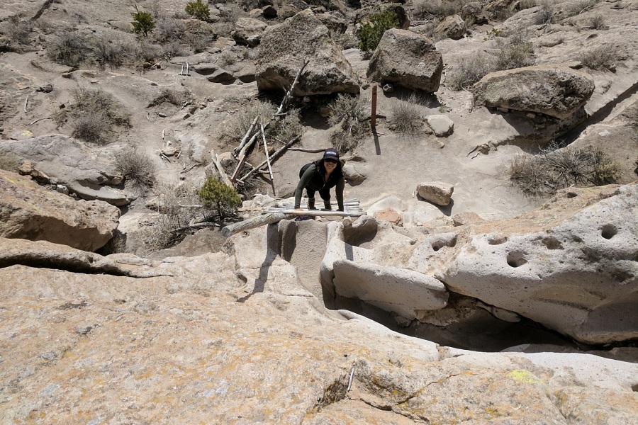
The Tsankawi section of Bandelier National Monument is located on State Highway 4, twelve miles northeast from the main section of the park. The 1.5 mile loop trail takes one across the mesa where Tsankawi Ruins is situated and along its edge where one can see cave rooms and petroglyphs. Ladders are a required part of this trail.According to Pueblo tradition, the people of Tsankawi (SAN-ka-WEE) spoke Tewa, while those in the Frijoles Canyon, in the main section of Bandelier National Monument, spoke Keres. While their languages were different, their religious beliefs, lifestyles, and worldview were similar. Even today, active pueblos - San Ildefonso, Cochiti, and others - retain strong social and traditional ties with these two cultural sites.
- Info from Bandelier National Monument Kiosk at Pay Station
Additional Information
Internet Explorer: Right Click - Save Target As
Firefox: Right Click - Save Link As
Photos by EMKotyk